Santorini. The most photographed island in the Mediterranean. Millions of travelers visit Santorini each year for the dazzling panoramas of multicolored buildings, all surrounded by beautiful and romantic vistas overlooking the Aegean Sea. Santorini gets its name from a cathedral called Santa Irini.

Geography
Out of more than 1400 Greek Islands, about 40 of them are called the Cyclades, out of which less than 25 are populated. Santorini is one of the Cycladic islands. The Cyclades are made of limestone, and lots of islands are volcanic. Lava tubes on the Cyclades are created by calm lava which flows downward. Geographic and natural features include green valleys with olive trees, mountain landscapes, volcanic islands, rocky coves, sandy and rocky beaches, gorges, springs and rivers. The metamorphic rocks in the Aegean were formed as a result of post-orogenic extension. Nowadays, the coasts of the Cyclades contain stunning sandy beaches and the lands are loaded with history. And in Santorini, history can be prominently seen just by looking at the caldera.
The earliest residents of Santorini were the Minoans, who came from Crete during the civilization between 2000 BC and 1600 BC. Other residents were the Dorians, Venetians and Turks, who also occupied other Cycladic islands. Back then, the majority of the population’s main occupation was growing and exporting tomatoes.
Shaping of the island

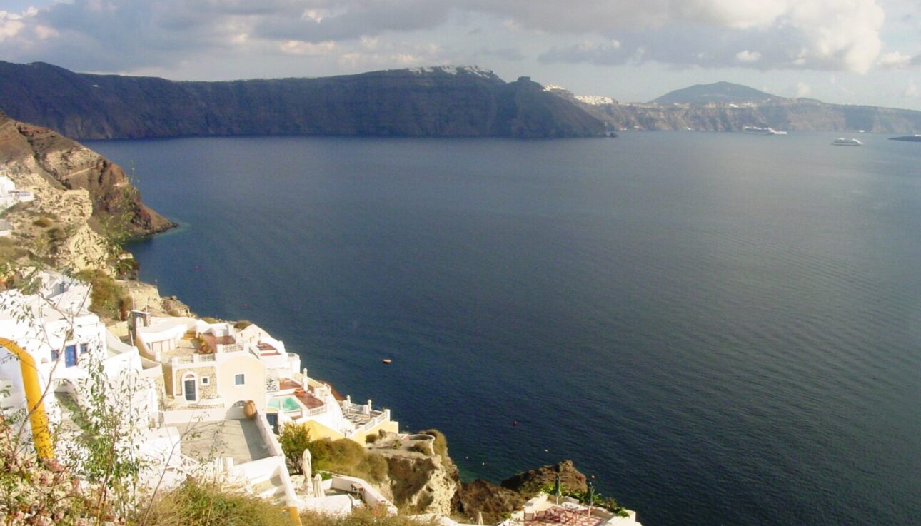
The island used to be one round, crescent of an island, called Strongili. A massive volcanic eruption in 1500 BC left a caldera with high cliffs rising at 1100 feet, and formed a bay around the island. This is how Santorini became shaped the way it is today. When the eruption happened, 30 cubic kilometers of magma exploded and sent ash all over the Mediterranean. The volcano went as far as Crete, located 113 km to the south, and the huge tsunamis traveled as far as Israel. As a result, everything on the island of Santorini was destroyed, and it also ended the Minoan Civilization.

A different earthquake occurred in Santorini in 1956. It was a 7.8 magnitude earthquake which destroyed the entire village of Oia, and overall, 90% of houses were destroyed on the island. The only remaining houses were some from the 18th century in Thira. After the earthquake occurred, houses were rebuilt, followed by hotels. That is when the tourism industry started expanding.
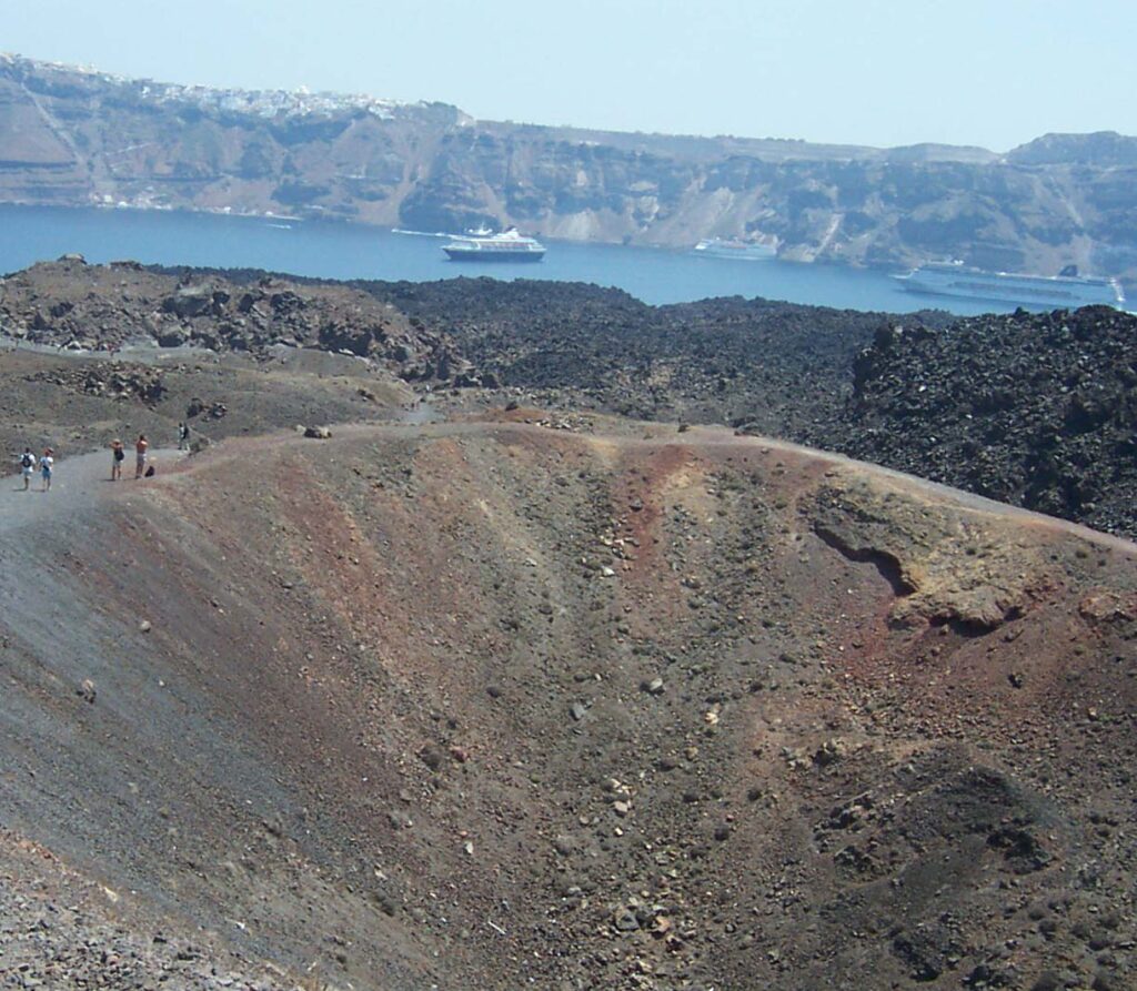
The island shows off its history by the looks of the caldera on the volcanic island, named Nea Kameni. Travelers can actually walk on the caldera. There are many boat tours that take travelers there for a one-day trip. History can also be seen by walking on the black sand of Parissa Beach, the longest beach in Santorini. The sand on this beach was formed as a result of the volcanic eruption.
Industry
Back in the 19th century, the economy used to be quite different. The only industries on the island were wine and shipping. Other industries, such as tomato cultivation and processing, weaving and quarries, opened as time passed. Agriculture was the first industry that started expanding in Santorini. Tomatoes, which grew in Santorini, were famous for their sweet taste. Other sectors of Santorini’s economy until the 1500 BC volcano eruption were manufacturing and quarries.
Tourism in Santorini

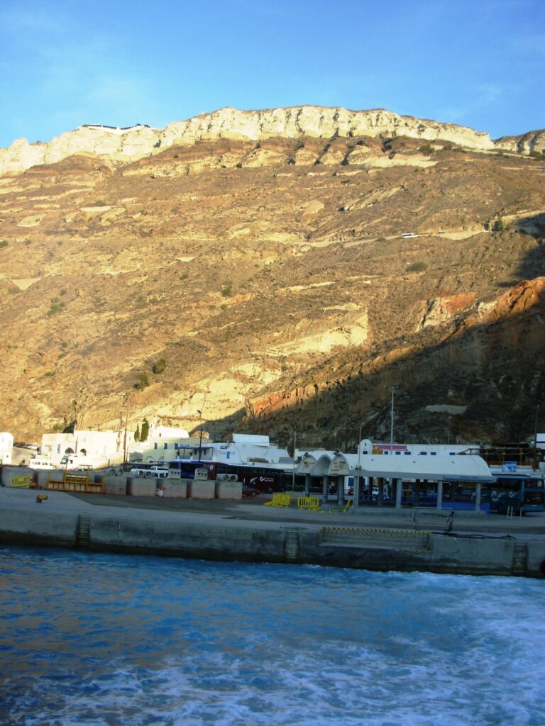
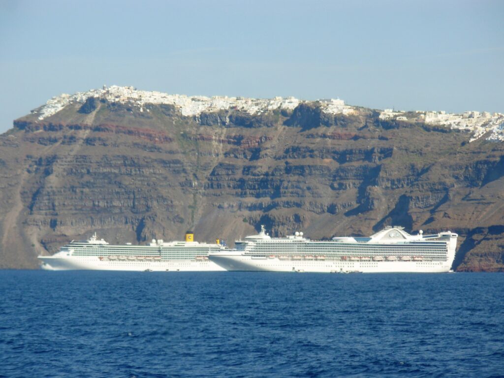
Today, the most important industry is tourism, which started in the 1960s. Prior to that, Santorini was first discovered by a luxurious German ship which arrived in 1935. Then after WWII ended, cruise ships would arrive only once every few months. Today, one can see up to 5 ships in port each day, all tendered off the main coast, and carrying up to 5,000 travelers per ship. On top of that, local ferries bring backpackers and budget travelers from Athens and other Greek islands. Today, tourism is more important in Santorini (and Greece in general) than wine! The island attracts the greatest number of tourists visiting Greece.
Want to visit Greece? Check my article on Greece Travel Tips

